Gli incendi visti da satellite: mappatura degli eventi e degli impatti
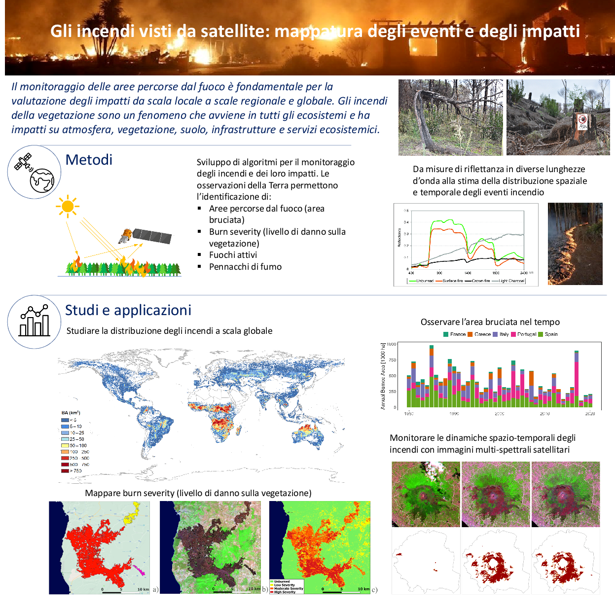
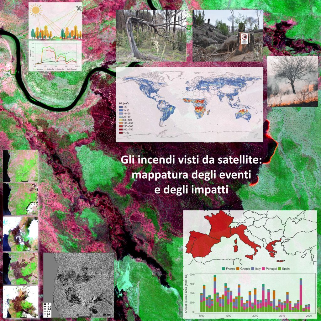
Le immagini da satellite forniscono informazioni preziose per il monitoraggio degli incendi e dei loro impatti. Le serie temporali (sequenza di immagini sulla stessa area/regione, come nel caso mostrato nel pannello per un incendio in Calabria, 2021) permettono lo studio dell’evoluzione dell’area percorsa dal fuoco a diverse scale temporali. Queste informazioni sono rilevanti per aree come il bacino del Mediterraneo particolarmente colpito dagli incendi negli ultimi anni anche a causa del cambiamento climatico. Dall’analisi delle immagini si possono estrarre informazioni su: estensione dell’area percorsa da fuoco (area bruciata), presenza di incendi in corso (fronte di fiamma), danno sulla vegetazione (severità dell’incendio) ed emissioni di gas e aerosol in atmosfera. Le metodologie per l’estrazione delle informazioni si basano sulla caratteristica firma spettrale che illustra, nelle lunghezze d’onda del visibile e dell’infrarosso dello spettro elettromagnetico, la radiazione solare riflessa dalla superficie (figure in alto). Queste metodologie permettono di generare informazioni spazialmente distribuite a scala da regionale a globale (mappe delle aree bruciate).
Fires observed from space: mapping events and their impactsSatellite images provide relevant information for monitoring fires and their impacts. Time series of images support the analysis of the area affected by fires over different time scales (temporal sequence over the same region, as illustrated in the figure for a fire occurred in Calabria region, Italy, during summer 2021). This information is relevant for areas such as the Mediterranean countries that have been recently severely affected by fires also due to climate change. By processing satellite images, we can extract information such as: the area affected by fires (burned area), the presence of burning fire (active fire), the impact of fire on the vegetation (burn severity) and the emission of gas and aerosols. The methodologies rely on the change induced by a fire to the spectral signature in the visible to infrared wavelengths of the electromagnetic spectrum (images at the top of the panel). These methodologies allow the generation of geo spatial products at regional to global scales (burned area maps).
 using WordPress and